Updates to the Book
The following updates occurred after HNCHP was published
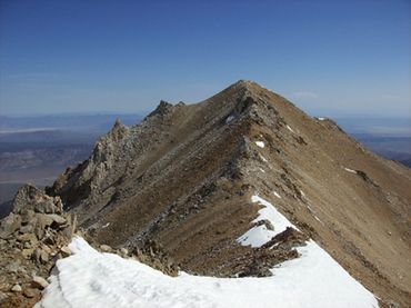
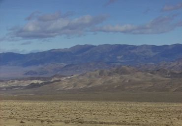
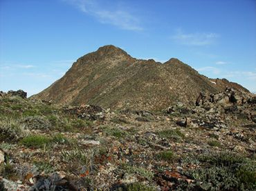
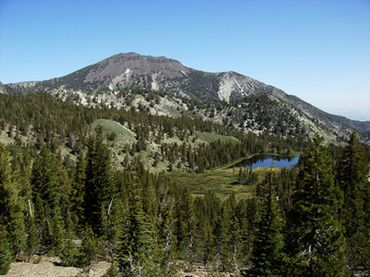
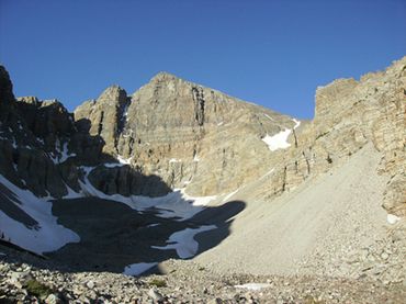
Churchill County—Desatoya Peak
A few folks have reported driving about a 1/2 mile beyond Basque Summit, to a point where the road becomes very steep and washed out.
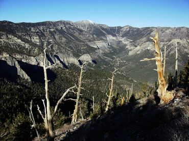
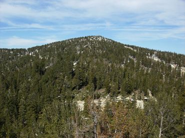
Clark County—Charleston Peak
There is now a sign 20.3 miles up the Kyle Canyon Road indicating “Trail Canyon” and “Mary Jane Falls”. After turning here and driving up the road 0.4 miles, you go right at a second sign as indicated for “Trail Canyon”, to arrive at the trailhead in 0.2 miles.
You can also park at a larger trailhead 0.2 miles lower. From there a short connector trail goes north to the Trail Canyon trail.
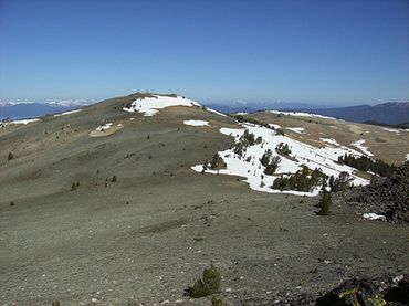
Douglas County—East Peak
There is a ski lift open from July 4th to Labor Day that transports people to within 1/2 mile of the summit of East Peak.
For more information, visit: http://skiheavenly.com
Elko County—Ruby Dome
The url for the Spring Creek Association is: http://springcreeknv.org
The elevation for Ruby Pyramid is 11,360’. This peak is sometimes referred to as “Ruby Dome, East Peak.”
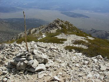
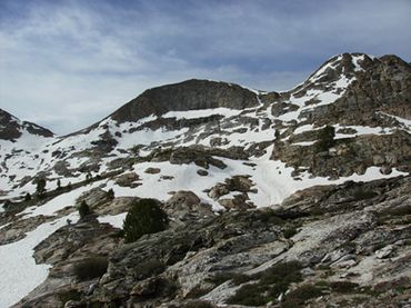
Esmeralda County—Boundary Peak
The correct round trip gain for this hike is 3500’.
Trail Peak is sometimes referred to as “Trail Canyon Saddle Peak”.
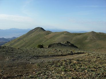
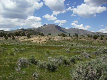
Eureka County—Diamond Peak
The “Dump” road in the town of Eureka now has different signage. The sign for the dump now says “Dump Site”.
The street sign at that corner says Reno Avenue and Country Road 101.
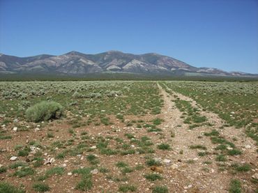
Lyon County—Northeast Ridge of Middle Sister
The last mile of dirt road has deteriorated significantly. High clearance 4WD is recommended.
2WD vehicles should probably park at the intersection with the Risue Road.
The Risue Road is Forest Road #050, not #056.
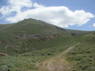
Mineral County—Mount Grant
Mount Grant is open to the public during the summer months. However, you must visit the base first to sign a waiver and get the gate key.
Call 775-945-7101 to make your access arrangements in advance. You can also send email to: maryjean.a.belzer.ctr@mail.mil
Be sure to read the latest trip reports for Mount Grant on Peakbagger.com.
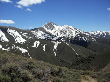
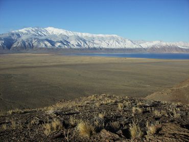
Nye County—Mount Jefferson
The correct elevation for Mount Jefferson is 11,941’.
The sign “Jefferson Summit” at the turn 7.5 miles up the Meadow Canyon Road is missing.
Pershing County—Star Peak
There has been an increase in mining truck traffic on the frontage road along Interstate 80. Drive cautiously and yield to larger or faster vehicles.
2WD will want to stop at 5.8 miles, where the approach road drops down into Eldorado Canyon. There are reports of water damage in the canyon thus making the last 2 miles to the miner’s camp drivable for 4WD only. There are reports that that the 4WD road above the old mining camp is drivable for a mile or two beyond. High clearance strongly recommended.
Photo Gallery

Contact the Author
Do you have a question about Nevada's County High Points? Have you seen road or trail conditions change since the book was published?
Send me a message, and I will get back to you as soon as I can.
Hiking Nevada's County High Points
This website uses cookies.
We use cookies to analyze website traffic and optimize your website experience. By accepting our use of cookies, your data will be aggregated with all other user data.